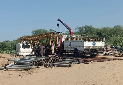
SDS-SAAD Drilling Services is acting as a GIS consultant, working to modernize in various fields such as Topography survey, planning, design, stakeout, data base, GIS, geology, mine etc. It is our mission to provide accurate, accessible, and comprehensive data and services to support the needs of our citizens, private businesses and government sectors.SDS-SAAD Drilling Services also provides mapping and printing services and GIS data.


SDS-SAAD Drilling Services can recognize and analyze the spatial relationships that exist within digitally stored spatial data. These topological relationships allow complex spatial modelling and analysis to be performed. Topological relationships between geometric entities traditionally include adjacency (what adjoins what), containment (what encloses what), and proximity (how close something is to something else).
“Looking for something specific? Let us know and we’ll help you find exactly what you need!”
"SDS-SAAD Drilling Services delivered exceptional dewatering services on our construction site. Their team was knowledgeable, punctual, and handled everything with precision."
"Their expertise in groundwater control helped us avoid major delays. The solutions were cost-effective and tailored perfectly to our project needs."
"Professional, reliable, and technically sound — SDS-SAAD Drilling Services handled our water well installation flawlessly. Highly recommended for any engineering project."


Whether you’re developing water resources, constructing critical infrastructure, or exploring subsurface potential, our innovative approach and relentless precision turn visions into reality.
Copyright 2025 By Webco Technologies